
The creation of our woodland – dealing with the water.
When writing the piece about the Flag Irises, I thought that an explanation of the wet areas was called for (and, indeed, the fact that we no longer paddle when we walk behind the school!) Hence this piece on drainage. It might not be the most glamorous of subjects but it is an important part of the woodland's history and I think it deserves to be documented.
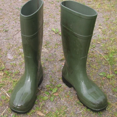
How many of you can remember the early days of the woodland? Jim Grogan and his band of volunteers had succeeded in laying a footpath (made out of road planings – delivered Gratis by the kind County Roads Department) but, for at least the winter months, the woodland pathway behind the school became flooded and the ground on both sides of the path was a total quagmire. Wellington boots were always the footwear of choice! Two questions arise – where did all of the water come from and, since the pathway is now mostly dry throughout the year, -where has the water gone?
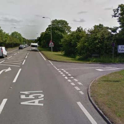
To the best of my knowledge, the fields that preceded the woodland were not particularly wet. However, much of the water that was falling on those fields was able to percolate downwards and find its way into the great reservoir of underground water contained in the underlying permeable Cheshire sandstone rock. Introducing the A51 Tarvin By-pass into those fields resulted in the ground being covered by a great ribbon of virtually impermeable tarmac, from which the rainwater now had to be deliberately drained. During the engineering work of 1985 – 86, much effort was directed towards doing just this.
The new A51 was built in a shallow cutting, stretching from what is now Tarvin Roundabout eastwards to the staggered junction at Cross Lanes. Excavated earth was mounded into embankments and gullies were laid to collect the surface water from the road and, where gravity permitted, to deliver it via huge pipes to the main drain on Hockenhull Lane. In areas where 'normal' drainage was not possible because it would have to be uphill, huge trenches were instead dug across the part-fields that are now our woodland and these were filled with rubble. This type of drain is called a French Drain and is essentially a long and truly enormous soak-away. The French Drains were also able to intercept some of the surface water resulting from rainfall and then help to disperse it.
However, the amount of water that the land had to absorb was, at times, huge and, inevitably, there were occasions when the volume was far too great for the ground and French Drains together to be able to absorb. There are many people in Tarvin who have vivid memories of this time – of trying to get through the woodland behind the school, between Broomheath Lane and Hockenhull Lane, during the winter months. The ground was usually marshy and very often flooded – as I said earlier, Wellington boots were always the order of the day!
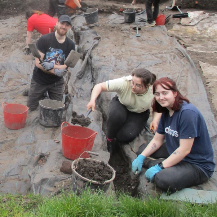
When the Trust was established and had managed to obtain a 125-year lease on the land, we were at last able to apply for grants in order to carry out large projects. The solving of the drainage problem was our Number One priority and we were exceedingly fortunate to obtain a grant from CWaC (through a fund that was only very briefly available) and contractors came into the woodland and carried out great deal of work. The surface water that was percolating down the embankment from the direction of the road was intercepted by a deep trench dug alongside the path on the "up-hill" side. Into this trench was placed a great deal of rubble, surrounding a 150mm (6") porous drainpipe which ran the length of the trench. Every 30 to 40 metres apart, cross drains were dug across the pathway at right-angles to the first trench. Once again, these contained rubble encircling the piping and it was through these that the water passed into very large rubble filled soak-aways on the "down-hill" side of the path. It was from these soak-aways that the captured surface water gradually percolated away to the surrounding land BELOW the pathway – thereby keeping the pathway itself dry and giving rise instead to wet areas in the lowest lying areas
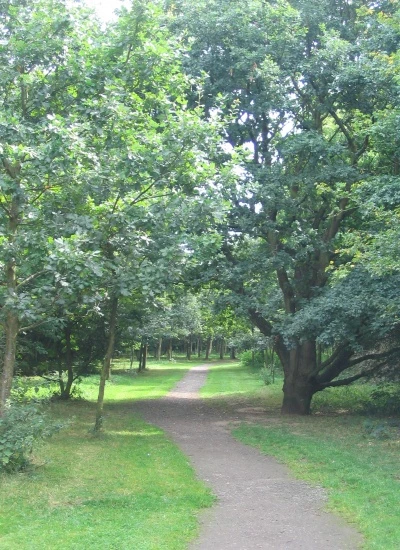
As a consequence, there has undoubtedly been an increase in the amount of water soaking the land between the path and the school. This has created some new wet areas and enhanced others, resulting, for instance, in the damp areas which now provide a home for our Flag Iris. You might also notice as you walk along that the area to the north of the path down to the school is gradually being taken over by Goat Willow, a pioneer species well adapted to moving into new and suitably damp areas. Indeed, the ground there is so damp that Trustees gave serious consideration to constructing Woodland scrapes, in order to provide a small open water facility. This idea was regretfully abandoned after determining that maintenance and safety would be too expensive.
The work to drain the area of the path was carried out in 2010 and has made a huge difference to the woodland and its users. For the first time, it was possible to walk behind the school at any time of year with dry shoes! Jim Grogan was around to oversee the drainage work but, sadly, he was taken ill in the autumn of 2010 and died in January 2011. He never had the chance to walk along the newly-dry-in-winter footpath that he had worked so hard to achieve! However, as the instigator of what is arguably the single most important improvement that has been made to the woodland, there is no doubt that he would be well-pleased!
Quick Links
Get In Touch
TarvinOnline is powered by our active community.
Please send us your news and views.