What's Under Your Feet in Tarvin?


The Flintstones and Tarvin have a lot in common – Bedrock. Many readers will have noticed that some buildings in the center of Tarvin are built on hard, red-brown bedrock. Those of you who have, however, would probably never have given this observation a second thought. Here, a glimpse into Tarvin's long geological history may change that.
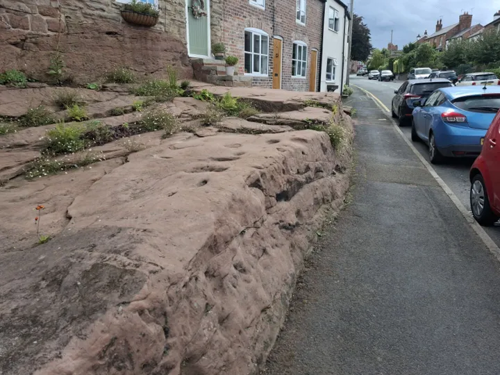
The beer cellars of both the Red Lion and the George and Dragon are hewn out of sandstone originally deposited by desert rivers around 250 million years ago (Ma) during a geological period known as the Lower Triassic. Although these hard, stable sandstones provide subsidence-free ideal foundations, they can literally be a tough problem for builders when excavating drainage trenches and footings.
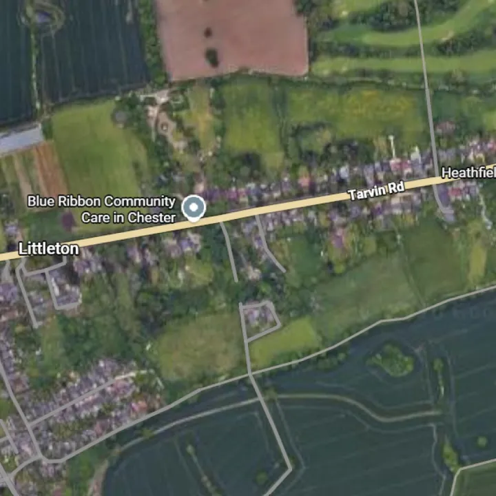
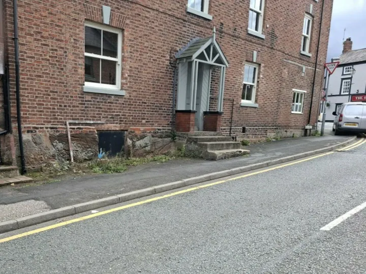
The two pubs are not the only buildings in Tarvin visibly built directly on sandstone bedrock. For example, King Loui chippy (or fish bar to be posh) #1, former Manor vets, former Zion Chapel (#2) on Lower High Street and a few residences on the north side of the High Street (#3 & #4) clearly show the outcrops of the rocks on which they are built (click on all images to enlarge).
Around 250 Ma the sandstone outcrops shown in these village pictures were in a very different place geographically. Picture #5 is a paleogeographic reconstruction showing that these sandstones were once around 25 degrees North of the Equator instead of 53 degrees North where they are today. In other words, they have been carried nearly 2000 miles north from the sub-tropics where they were originally deposited to underly what is now the cool and damp Cheshire countryside around Tarvin. The mechanism responsible for this free ride north is something called continental drift caused by the break-up of a long-gone supercontinent called Pangaea. This is where Tarvin's bedrock sandstones began their long geological journey.
The Tarvin bedrock was originally deposited by a network of rivers flowing north through a continental desert environment in the middle of the Pangaea supercontinent. These rivers deposited what were once loose sand grains along their respective river beds. These channels criss-crossed each other to form what is called a braided channel system (#6) sourced in a former mountainous area in what is now northwest France. These ancient rivers travelled northwards around 300 miles from their actual source to what is now the Tarvin area and much further north to what is now Cumbria. Tributaries from more local areas to the west in what is now Wales also joined this channel system.
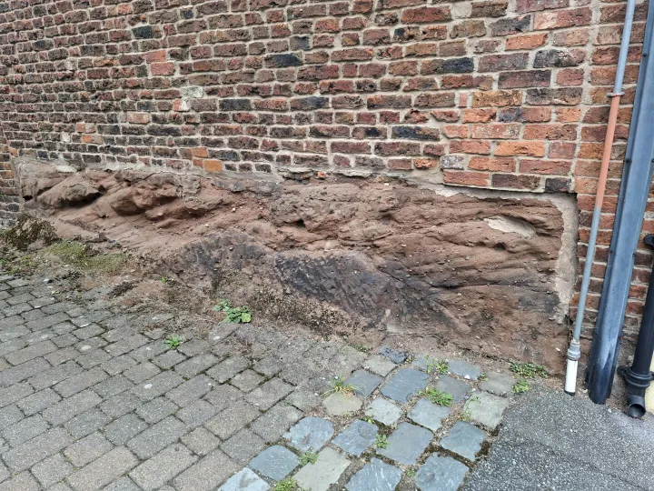
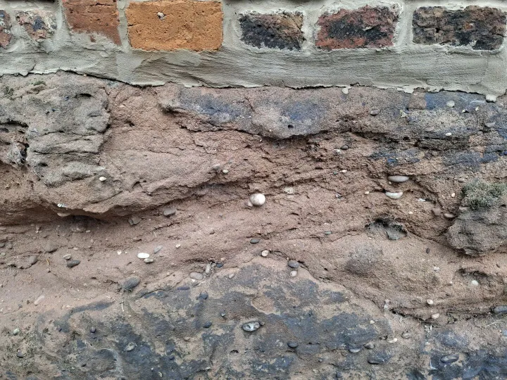
The distinctive red-brown colour of Tarvin's bedrock outcrops results from the oxidation of iron minerals which coated the sand grains deposited in that ancient desert environment. Over millions of years other minerals (mainly silica) began to form between the sand grains and cement them together to form the cohesive, hard rock sandstone we see today. The bedrock in Tarvin has an official geological name assigned by the British Geological Survey. They are known as the Chester Pebble Beds Formation. The pebbles (picture #4) are usually well-rounded and commonly formed of hard quartzite. These pebbles are well-rounded because they have travelled long distances (some maybe as far as modern day France) and have literally lost their edges by countless collisions en route.
So, the next time you wait in line at the chippy, ponder this: there is a lot more history beneath your feet than above.
Quick Links
Get In Touch
TarvinOnline is powered by our active community.
Please send us your news and views.