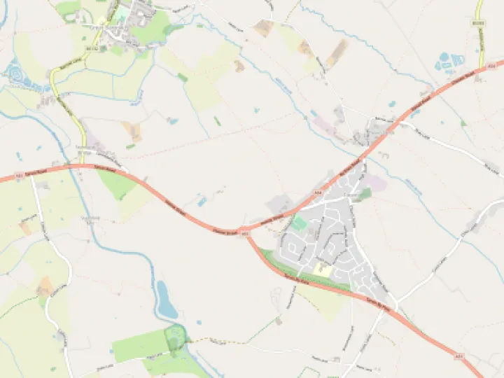


Causeway and bridge
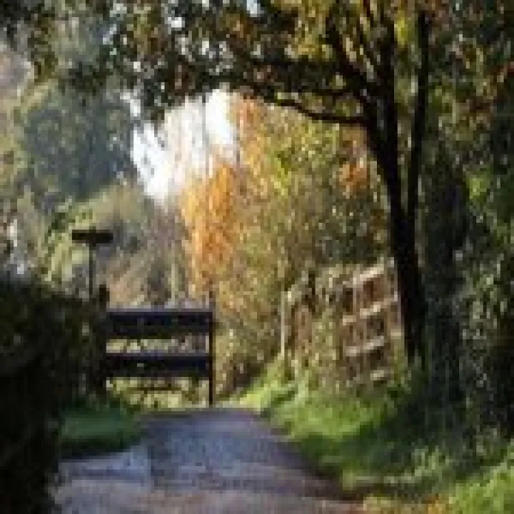
This substantial structure more reminiscent of a road than a bridle way connects the Hockenhull (east) and middle bridges. A recently discovered photograph in Cheshire Life from 1947 shows the now buried causeway linking the middle to the west bridge, but is it the same as the one shown above
The 1947 is significant because the Gowy flowed through the west bridge apparently until the about the 1940's. By 1945, it went through the middle bridge. To see the causeway visible means the photograph was taken around 1943-1944. It also shows the causeway closely resembling the one between the middle and east bridge.
To have built a causeway over marshland was a serious undertaking. Did barriers hold back the marsh during construction? Could it be there was a much earlier causeway and the river flowed under one bridge, the Hockenhull bridge? There is unlikely to be any account of the actual construction as this was very rarely documented with an bridge or causeway.
The favourable weather of 1665-66 would have been a blessing. Both the causeway and bridges were built around the mid-17th century. At this time one of the longest dry periods ever recorded occurred from November 1665 to September 1666. Doubtless, the Gowy barely flowed and the marshes dried out enough for construction to go on unhindered.
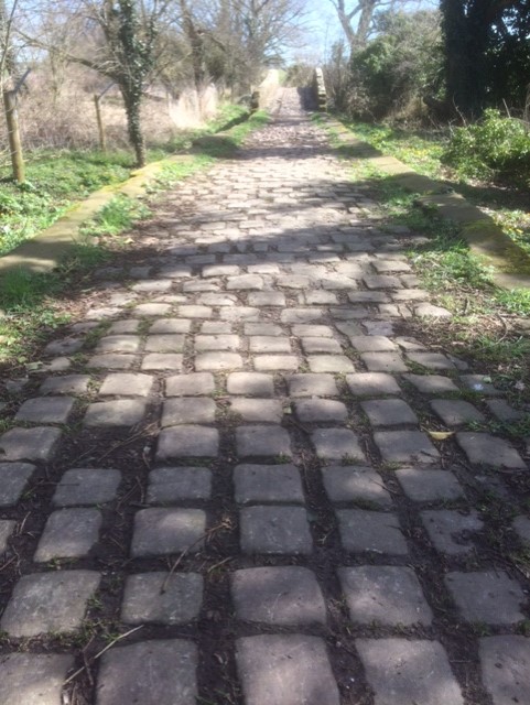
Constructed of large sandstone blocks, topped with a mostly complete length of setts and raised a metre above and below ground, the causeway shows quality engineering.
It is thought both the causeway and bridges were built about the early to mid-17th century. The date is supported by a masons' mark on one of the kerbstones near Hockenhull bridge. The same mark is also to be found in Tarvin church
I suggest another form of causeway underlies the present one either as an extension of the one, mostly hidden, between the middle and west bridges, or an altogether much earlier one.
Could both causeways be contemporary or is the hidden one much earlier, even Roman? Why is one raised and above ground whilst the other is mostly buried; presumably by sediment deposited in flood conditions or even human activity?
In considering the raised causeway some questions rather than answers present themselves.
- Was it built on top of an earlier causeway that was breached by encroaching marsh and seasonal flooding?
- Substantial and raised means it might have been intended as a foundation of a road at a later date; a turnpike road was considered in the late 17th century.
- If a road was the determining factor perhaps funds were exhausted or opposition from the Grosvenor estate prevented extending the causeway beyond the middle bridge;
- Was it raised as a flood defence when the river flowed through Hockenhull bridge?
These are a few of the possible scenarios. Further research might provide some answers.
Any comments please to: [email protected]
Quick Links
Get In Touch
TarvinOnline is powered by our active community.
Please send us your news and views.