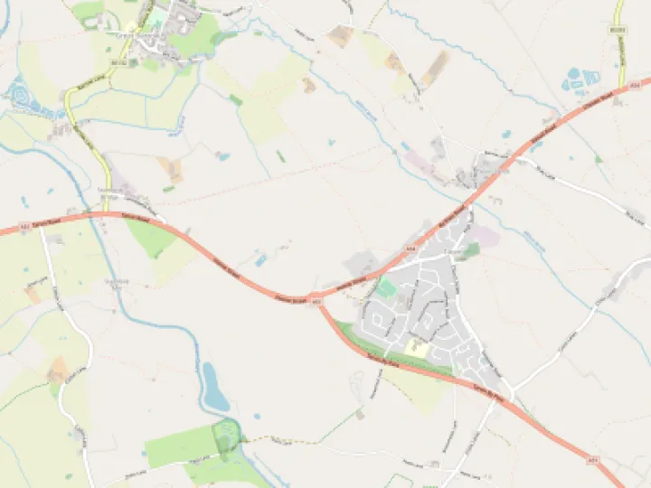
Gowy: a puddle to a river
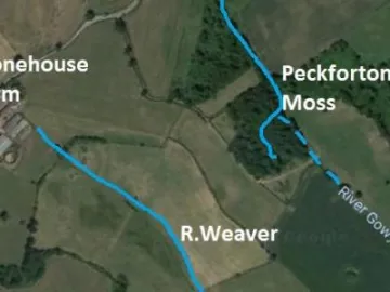
The source of the Gowy is Peckforton Moss (SJ 540558) below the Peckforton Hills.
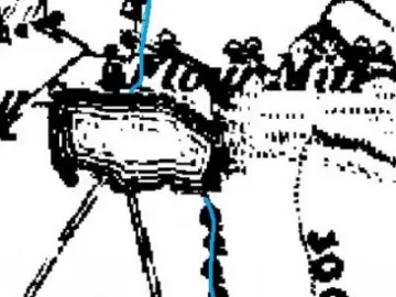
And, in detail on the 1836 Tithe mapIMG(401605,S,R,1)
How does a trickle of water, a hardly a foot wide, become a narrow, minor river with a strong enough flow to power some 20 mills along its course? The first such mill at Peckforton, recorded in the 15th century, was only 650 metres/0.4 of mile from its source!
Two miles further on there were two watermills at Beeston. Does this suggest the Gowy was more forceful in medieval times?
Rain, store and drain
The sandstone of the Peckforton Hills acts like a giant storehouse. Basically, rainwater moves in three main ways: as surface run-off, slowly percolating downwards to be stored or to continue downwards until it reaches the fields below. All these elements are continually at work and are all dependent on the amount of precipitation, namely rain, hail, snow.
The Gowy once flowed more strongly, it flooded annually, made fertile alluvial land, marshes and damaged the bridges. All seemingly out of keeping with its present gentle nature.
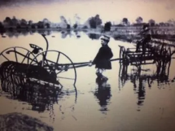
Flooded fields at Mickle Trafford. Courtesy of Esther Woodcock
A little rain goes a long way!
To appreciate just how much water supplies the Gowy takes some effort to determine but here goes; the figures in were calculated 1983 for another project of mine.
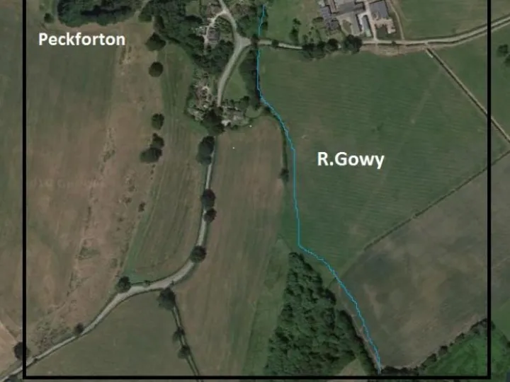
How much rain falls on a 1km2 area close to the source of the Gowy?
(Illustration: Aerial view of the 1km2 )
A 1km2 is about 10 football pitches. A light shower over the whole area, lasting an hour would give about 2,700 litres; a heavy rain some 68,000 litres and prolonged rain, for a morning of some 4 hours would give 256,000 litres!!
In everyday terms these figures are more meaningful:
2,700 litres = 34 baths; 68,000L=850; 256,000=3200
A standard swimming pool takes around 375,000 litres!
Imagine the enormity of rainwater if even a light shower was happening along a few miles of the Gowy.
Of course, only part of the rainwater reaches the Gowy, due to a number of reasons. A major part is held in the ground and in marshes, lakes, ponds and meres. Nevertheless, given the fact the ground water is high, enough will over time, reach the river to maintain the flow.
Along its journey water is being added by direct rainfall, a multitude of drainage channels and side streams. Even the straightening of the river and heightening of its banks are unlikely to prevent flooding in the face of climate change.
The Gowy: long ago
It is suggested for a period of perhaps many centuries the Gowy flowed as a wider, deeper and more erratic river. Its former journey is lost in the marshes and the actions of people who sort to control it. Only tell-tale signs offer clues and these too are not easily described.
Quick Links
Get In Touch
TarvinOnline is powered by our active community.
Please send us your news and views.


