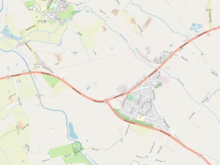

The stream flowing down Platts Lane lacked the force to create the hollow way. Rather, it was the erosion caused by the constant passage of traffic of all kinds moving through it. Being part of the London to Holyhead road, an 18th century writer considered it the busiest outside London.
A variety of claims as to the early users of the hollow way abound from pre-historic settlers, Saxons, Vikings, Romans and others. All could have been possible visitors or even settlers of the area. Unfortunately, there is nothing much to go on, we just do not know.
Supposedly, Roman timbers were found during repair work on the central bridge; no record exists. Is this the source of the 'The Roman Bridges' misconception? The bridges are medieval with a number of alterations having been made.
Any Roman activity along the hollow way is considered insignificant. The favoured route was via a bridge crossing the Gowy at Stamford on the Roman Watling Street to Manchester. Yet, there are some features of Plough Lane, the causeway and finds of coins to raise doubts.
The only certain evidence relates to the Norman period. The Norman lords were eager to enrich themselves in every way possible and salt was a prime target of the King and the Earl of Chester. The Platts was on the King's Highway to London and an important trade route. The Earl's few visits to Chester were enough to demand maintenance of the Platts and its decaying bridge.
In 1353, the Earl of Chester, the Black Prince granted 20 shillings for the 'repair of the bridge at Hokenhull'.
Being the crossing for the London-Holyhead road, it was vital to both travellers and trade alike. All kinds of goods were carried by packhorse trains but salt was locally and nationally important.
The Cheshire salt mines at Northwich, Middlewich and Nantwich created considerable wealth for the Norman treasury. Pack horses loaded with salt travelled far and wide along 'salt ways' such as the Platts, yet almost of these journeys through Cheshire are recorded.
The Cheshire salt mines at Northwich, Middlewich and Nantwich created considerable wealth for the Norman treasury. Pack horses loaded with salt travelled far and wide along 'salt ways' such as the Platts yet none of these journeys are recorded.
Salt making was firmly controlled by the King and the Earl of Chester as witnessed in the Great Domesday Book of 1085-86.
" In a week in which these said 8 salthouses of the
King and the Earl were at work boiling, they paid
on the Friday 16 boilings, 15 of which made a
packload of salt...Anyone who incurred a penalty
within these boundaries could pay a fine of 2s, or
of 30 boilings of salt, except for homicide, or for a
theft (of salt) for which the thief was condemned
to death."
(a packload was the standard measure, costing an average 2 pence a load, roughly a sack full. A fine of 2s or more was a serious cost to bear.)
The salt trade required a secure bridge to relieve the dangers of using the ford across the Gowy. After centuries of neglect, the hollow way was possibly re-surfaced with flat, stone flags about three feet wide. This 'causey'* (an Old French word) allowed horses, notably packhorses to move easily without struggling in deep mud.
Whether today's causeway lead to the bridge is uncertain. Some form of dry surface would be likely to cross the marshes.
The path across the marshes and the beginnings of the first bridge is for next time.
*The reference to 'causeys' in Cheshire comes in the diaries of Celia Fiennes. She travelled the country on horseback in the 17th century. It appears she did not use the hollow way on her journey from Nantwich to Chester.
Quick Links
Get In Touch
TarvinOnline is powered by our active community.
Please send us your news and views.