Hollow Way, Platts Lane.
This, the lower section of Platts Lane above the east bridge may have originated in a number of ways. No single idea can be anything but a suggestion, as again, no written or map evidence is available. No surprise, as it may have happened around Domesday, 1086; it's as good a guess as any. After all it has not been investigated until now.
[ First, a few facts to aid my theory as to how the way formed.
]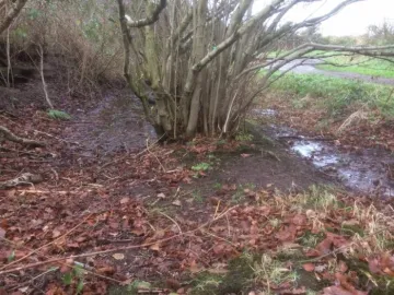 As mentioned before, the way is not of uniform width but meanders downslope. The path falls some 90ft (27m) to the river and averages 1.4m (4.5ft) wide. Over many years maintenance of the path has been carried out and at a guess the walk up would be still steeper.
Without the path, the vegetation and centuries of people and animals passing through, the hollow way would not exist. Instead, a shallow valley, with gentle slopes and at some 4m (15ft) or more above its present level. Basically, a valley easy to jump across!
[Was it a dry valley or did a stream flow in it?
]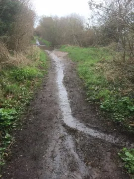 I suggest a stream began (facing up the path) from about the first field on the right above Hockenhull Lane. Further drainage water came from the Hockenhull field on the left. After centuries the flow grew in strength enough to widen the valley and reach the Gowy though never enough to create what we see today.
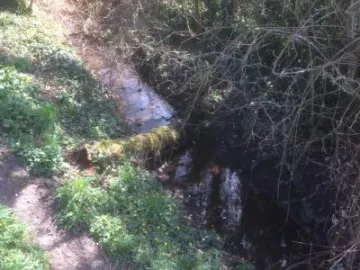
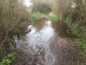
The possible stream bed is visible in places above and along the hollow way. In the wide margin up to the top field, water is often present and there is a strip of hazel trees down the centre. Of course, this watery margin might just be runoff from the field opposite.
There is more possible evidence in Part 3 as well as the users of the hollow way...who said the Romans?
And, others.
Quick Links
Get In Touch
TarvinOnline is powered by our active community.
Please send us your news and views.


