


The aim is an attempt to piece together some of the history of the Gowy through centuries of its journey to the Mersey. Unlike the Platts bridges, the river, at least until recently, has hardly been considered either geographically or historically.
The Gowy might have existed after the last Ice Age, some 11,700 years ago. Much of Cheshire would be awash with deposits from the advance and retreat of the ice-sheet. A 100m thick layer of clays, sands and gravels covered the bedrock over which innumerable streams traced across. The landscape appeared more reminiscent of an enormous mudflat dotted with masses of scattered boulders. There would be no definition between land and sea, not a Mersey or a Gowy within so many rivers and streams.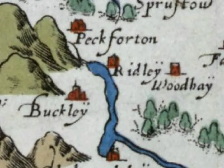
Now, there is a Mersey, and both the Gowy and Weaver drain into it from below the Peckforton Hills, near Stonehouse Farm. In 1577, Saxton's map showed an extensive lake which at first gives the source of both rivers. He was known for depicting water features poorly which is understandable but a lake was there though the position is questionable.
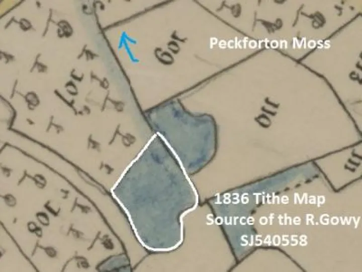
Today, maps show a scattering of pools and mosses around Peckforton down to Chapel Mere at Cholmondeley. Such water features as ponds, lakes and even rivers gradually disappear as sediment and vegetation choke them. Might this have happened to Saxton's lake? Maybe Saxton had been right in identifying the source of the Gowy even if its field position was wayward? Ironically, apart from the field, the source itself is often confused. The best location is suggested in the 1836 Tithe Map
Old man river...
In its 22mile/35 km journey, the Gowy's width and depth are determined by heavy soils, high ground water and a very shallow gradient. With such a low gradient the river must meander to maintain forward momentum. In so doing, the Gowy is little more than a wide ditch but under winter conditions the river becomes a different beast. The high-water table means the land cannot deal with sustained rainfall because the soil is already saturated. Along its length more water is being added to the river until it overflows. The presence of marshes is a sure sign of regular flooding in the past.
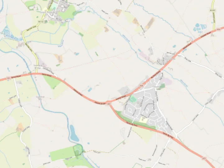
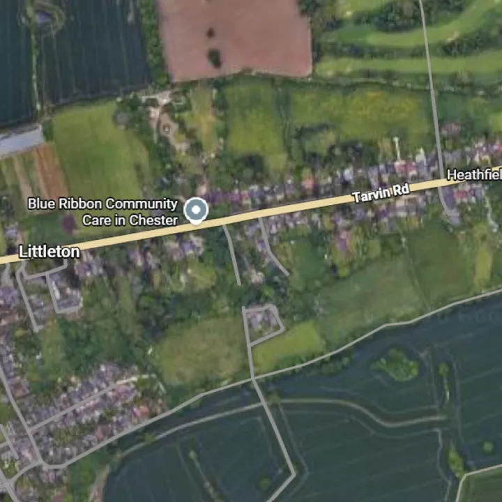
Historically, the Gowy flooded annually as evidenced by the marshes along its shallow valley. Whether the Gowy is the only cause of these marshes is not as obvious as first thought. Before the Manchester Ship Canal was built in 1893, the Mersey high tides reached inland to leave Plemstall marooned and, supposedly, reached Hockenhull, if not further. Those days are over but the Gowy has been altered over the centuries, most recently in the 1940's. However, even today a week of heavy rain might see flooding again.
Most interventions focussed on straightening the Gowy to increase the flow and sediment movement downstream. Bends and more especially meanders, were removed.
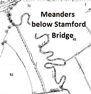
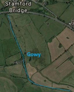
Below Stamford bridge the removal of the meanders is evident in this aerial view:
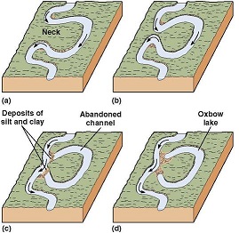
Such changes mostly occurred in the 18th and 19th centuries as population growth demanded more land under cultivation. In more recent times the prevention of flooding is the main motivation for such changes. However, over time, the Gowy, as with most rivers, will 'cut-off' meanders naturally straightening its course (see below). Once a river is straightened, naturally or artificially, its flow increases making it more likely to erode its bed and banks more likely.
The most recent changes came in the 1940's, when Italian prisoners of war carried out work to straighten the Gowy, deepen the channel bed and raise the banks. In May 1945, plans were actioned to lower the riverbed under the middle bridge and to include the underpinning of the arches.
This modification of the Gowy was only one aspect of the river's story. A fuller story of its movement across the Platts will be considered in a later article.
Next: Gowy: a puddle to a river.
Quick Links
Get In Touch
TarvinOnline is powered by our active community.
Please send us your news and views.