Settlement Boundary Decision
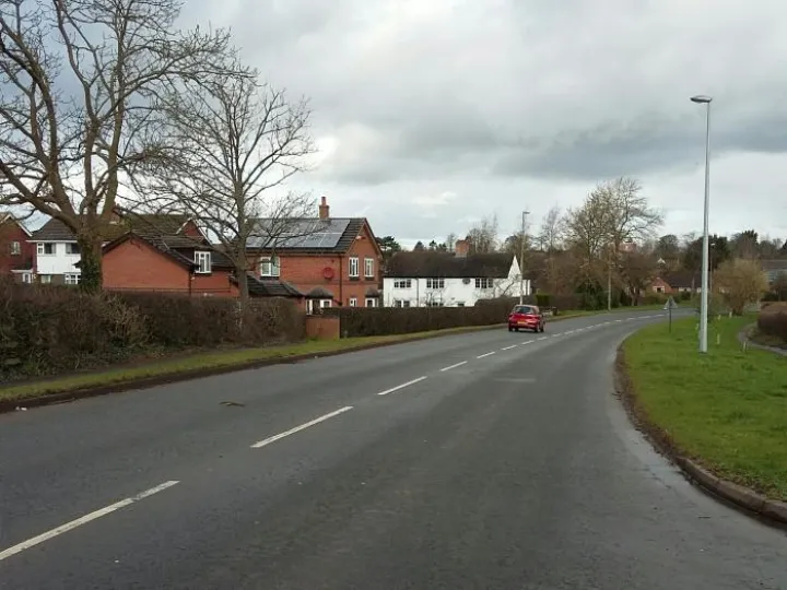
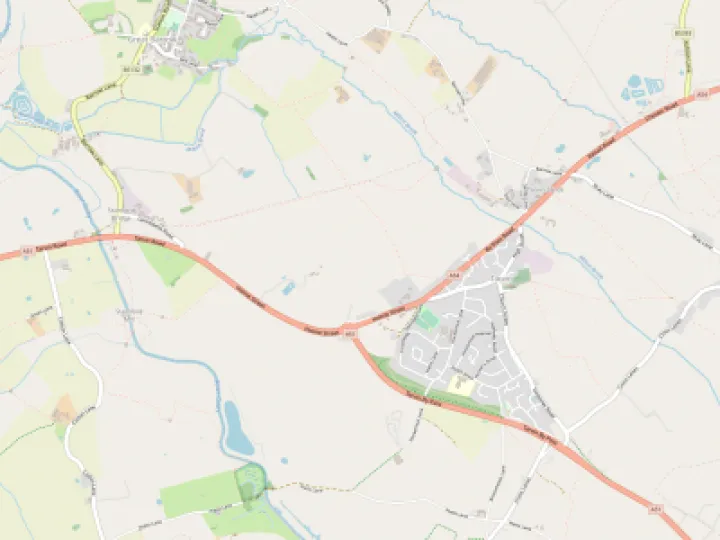
At the Parish Council meeting on Monday (February 27th) the Council agreed to reverse an earlier decision and support the establishment of the settlement boundary along the centre of Tarporley Road, a line suggested by CW&C in the Local Plan Part 2. A settlement boundary is a line which indicates the difference between built up and open land where different planning rules apply. Generally speaking, development is allowed within a settlement boundary but is resisted or subject to stringent controls outside the boundary.
Until recently the Parish Council had preferred a settlement boundary that ran along Foorpath 18, roughly from the Corner of Church Farm to Brownheath Farm. They identified this land as the only suitable area that might accommodate development of any kind in the future. However there have been significant changes to the circumstances regarding this land:
- The number of new houses regarded by CW&C as reasonable for Tarvin until 2030 has been reached
- The draft Neigbourhood Plan recommends no further development because of the pressure on local services until at least 2030
- Community surveys have shown that there is no appetite in the village for any more development now.
- A recent CW&C report into the provision of Traveller sites has identified a plot on the east side of Tarporley
Road.
- The Parish Council has recently recommended rejection of a plan for 65 houses and recreational facilities on
Church Fam land also to the east of Tarporley Road.
The Parish Council, the Neighbourhood Plan Steering Group and the Tarvin Residents Group have all taken advice from independent planning advisors. All of them have indicated that a settlement boundary as originally envisaged by the Parish Council would suggest that the area could be available for development immediately. This is not the outcome that the Parish Council wants and so they voted to withdraw their original proposal and agree to the Settlement boundary being drawn tightly along Tarporley Road. They would write immediately to CW&C to advise them of this.
Should circumstances change in the future the ability to alter this boundary is available within the Planning/Neighbourhood Plan legislation.
Quick Links
Get In Touch
TarvinOnline is powered by our active community.
Please send us your news and views.


