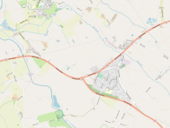
The Hollow Way, Platts Lane

Travellers of all kinds have used Platts Lane for thousands of years. On foot was the major form of passage but also on horseback, on small carts or in carriages, as well as packhorses and farm animals.
In recent times it was even proposed to build a road through this historic place. How could a council imagine this was a good idea?
Thankfully, it remains a quiet by-way for walkers, cyclists and horses. Yet, it has a historic atmosphere and not just because of the three packhorse bridges. It is, in fact, a 'hollow way'. There are many, many in Cheshire, perhaps you have walked or cycled along some.
Their character is often like the one described here.
At the fork with Hockenhull Lane notice how wide the path is behind you. Notice the wide verge going back towards Stapleford. Ahead of you the path narrows a lot as it gradually descends down to the Gowy. At first the fields on either side are mostly level with the path but soon the fields begin to appear above the path. On the right the bank height increases whilst on the left it drops away into a tangle of all manner of vegetation. Nearly all the tall trees are on the left and back from the path.
At about halfway, dropping off the path finds a level patch of ground. There is a winding ditch up against the field bank. This, I believe is part of the reason for the creation of the hollow way.
The most often reason given is the sheer weight of traffic passing through when the way was as busy with packhorses and all manner of users. One writer suggested in the 17th century this, as the London to Holyhead road, was the busiest highway out of London!
Hockenhull, Tarvin and Christleton are blessed with such fascinating history in such a small area.
Quick Links
Get In Touch
TarvinOnline is powered by our active community.
Please send us your news and views.